Seriously, how am I ever going to write a blog post without dumping hundreds of photos on you, each showing a landscape that is even more stunning than the last? This place is like riding through a postcard or a chocolate box, as others have called it. I can confirm this: The box of chocolate I bought in Bariloche has a photo on its lid that looks suspiciously like the view I had from Cerro Campanario.
And yes, the riding is often hard too, but who cares? You soon forget about that climb you were fighting just a few minutes ago upon seeing the reward. The proof of that is in the notes I took for this post. When I looked back at the altitude profiles of the last few days I saw uphill sections that I completely missed while on the road.
Saturday 18 November
[activity id=1280840150]
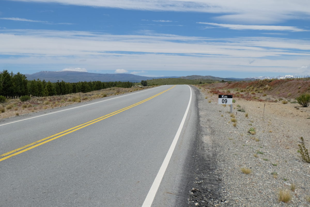
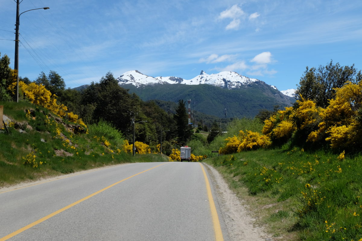
The question on Saturday was how far I wanted to go. The first real town is El Bolsón, 120 kilometers from Bariloche. It would be nice if I can make it there and it makes the following days easier as well, but it’s a tough goal.
Initially I pushed the bike through the center of Bariloche, as I was going against traffic in one-way streets and after these the road was just too steep to ride.
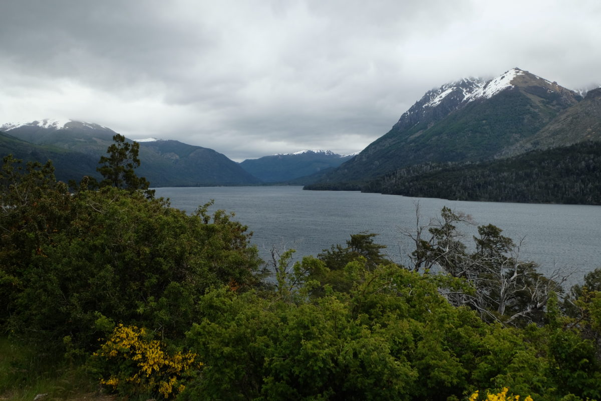
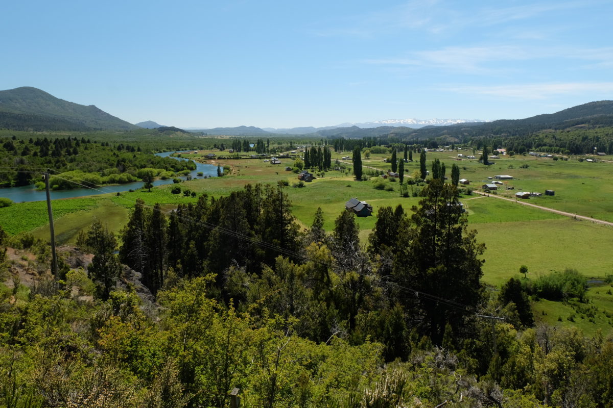
I left town to the southwest and a strong headwind was blowing again. I soon had to stop to add more layers of clothes, even adding gloves and a buff later on. I was riding next to a lake and the landscape was good. After a while the road turned south and the wind mostly disappeared.
There were many small and somewhat larger hills to climb today, slowing me down as usual. About halfway to El Bolsón is the village of Rio Villegas and at the turnoff are a few shacks selling food. Most were closed, but the one for empanadas was open, so I had a warm lunch. That’s something I really could use at the time, since the wind on the downhill made me feel cold, even if the temperature wasn’t that low.
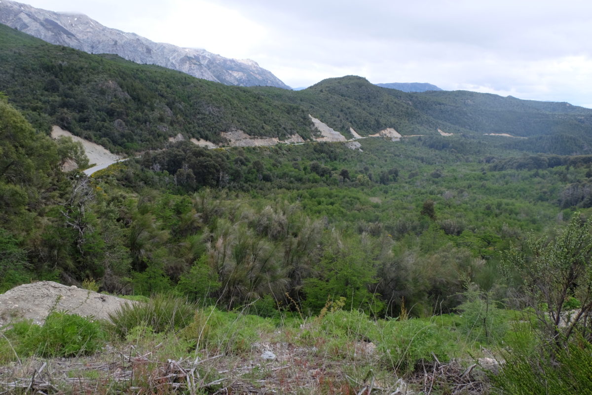
After lunch a longer climb started and here I also saw the first of many Dutch and Belgian 4×4 cars going the other way. They all had the same stickers, so probably some organised trip. After the climb followed a short descent and climb again and then at 90 km the hard part was done. The rest is free bonus distance: A 30 km long ride down a valley to El Bolsón, on which I hardly had to pedal.
At the start of this downhill I met three Brazilians who had almost made their way up the long climb. They were heading to the nearby Chilean border for a visa run. You can literally cross into Chile, turn around as soon as you have your stamp and get a new 90 day permission to stay in Argentina. I’m also going to need a renewal before I return home, but I’ll visit Chile a little longer.
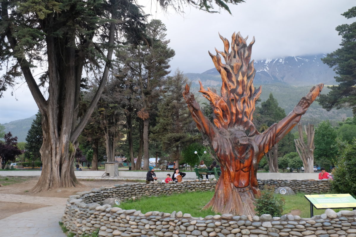
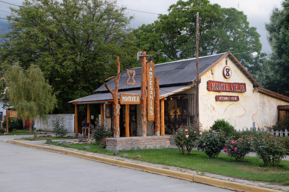
As I was walking around El Bolsón and taking some photos I was approached by an angry lady, because she claimed I had taken pictures of her children. You know, if you don’t want your children to accidentally appear in pictures maybe you shouldn’t let them play in a touristy square full of interesting art.
El Bolsón is the largest hop-growing region of Argentina, though I didn’t see any on the road into town. Thus there are several small-scale breweries in town and at one of them a local rock band was playing. Of course I sat down for beer, pizza and music. The band was really good, ending with a great performance of California Dreaming, probably better than the original. I had an IPA to properly evaluate the hops and that was good too.
Sunday 19 November
[activity id=1282500890]
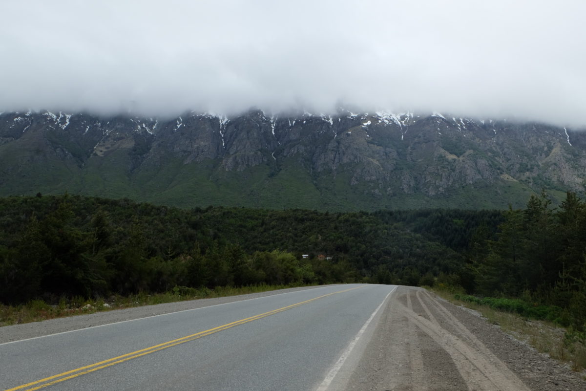
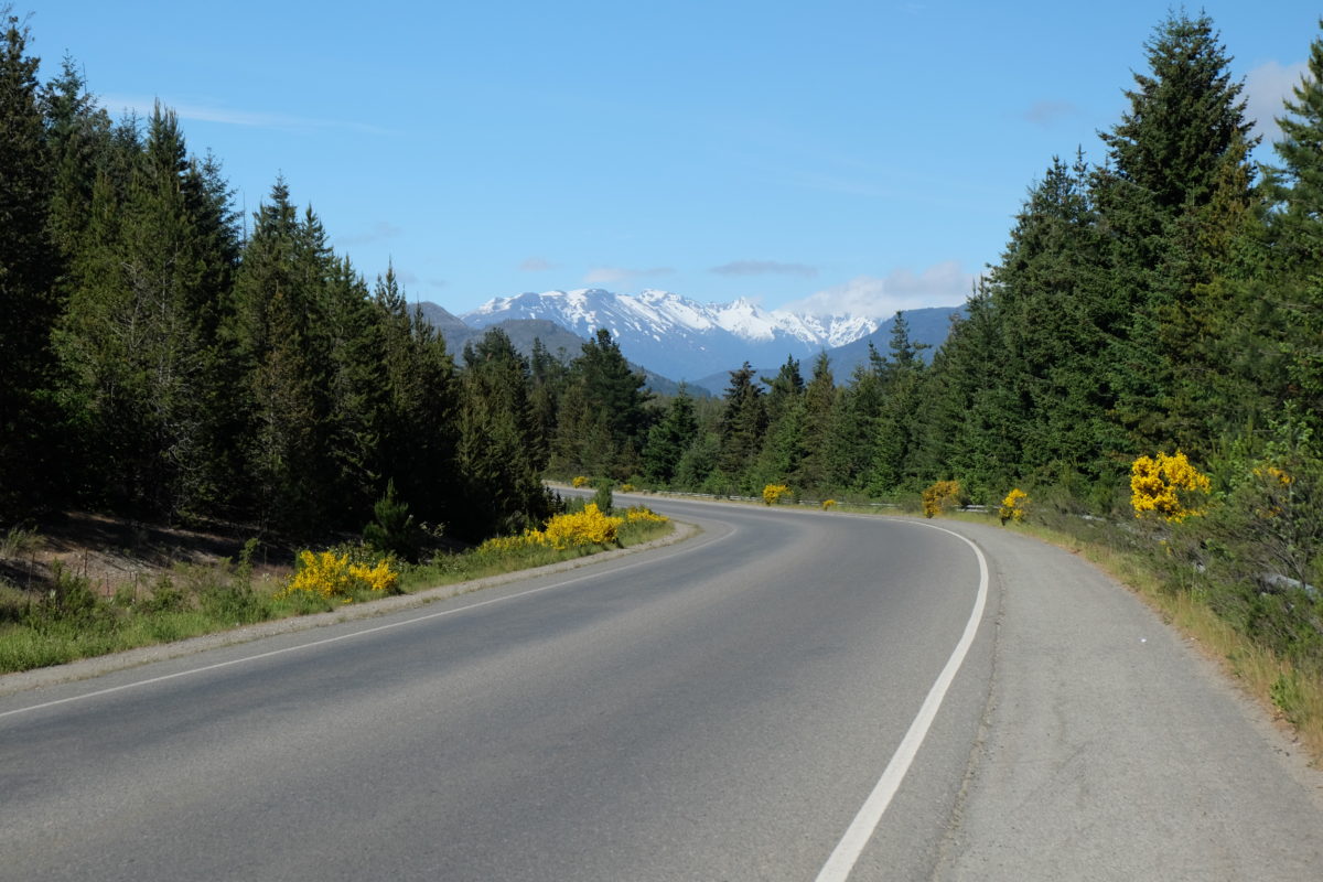
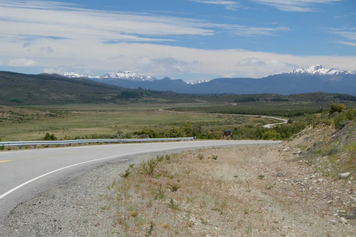
Sunday started with a good breakfast and sunshine. I first descended a bit more to El Hoyo and after following this low valley for a bit I climbed out again. It’s a relatively big climb, but not hard at all. On the climbs it even gets warm. The views are good, though more clouds appeared in the afternoon.
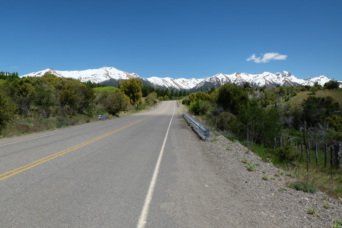
Soon after having lunch at a roadside restaurant I reached the top of the climb, which is also the point where I leave Ruta 40 behind for the next month or so. That night I celebrated the completion of this part of the tour by finally applying the Ruta 40 sticker that I bought several days ago to my bike. I continued on Ruta Provincial 71, which is still paved until Cholila.
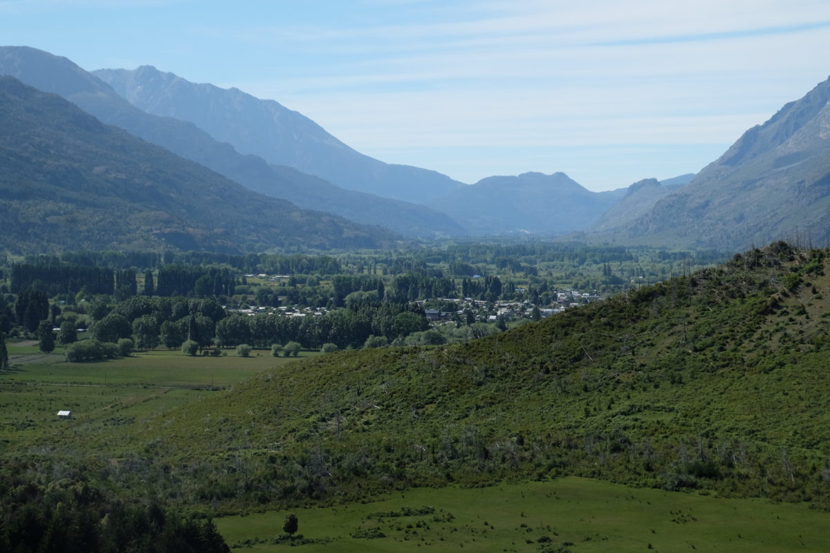
I entered a very wide and mostly flat valley for the last section of today. That should be an easy final 25 kilometers, right? Well, open landscape + Patagonia means much wind and unexpectedly it was mostly a headwind, making it a bit harder. If I had taken a better look at my map I should have expected that. Still, I made it to Cholila and found a place to stay for the night. There doesn’t seem to be much activity here, except at the football pitch. But of course today is Sunday.
Monday 20 November
[activity id=1284806559]
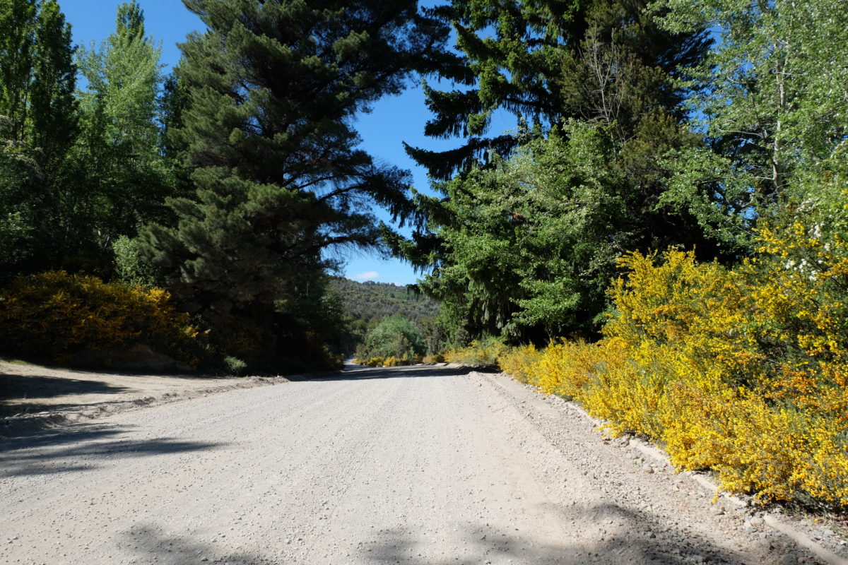
Today’s ride is short and if you just look at the statistics it should be easy. However, almost all of it is on an unpaved road, thus making it much harder. The weather has reverted to sunshine all day and if the predictions are to be believed (a big if down here) it will stay that way for several days.
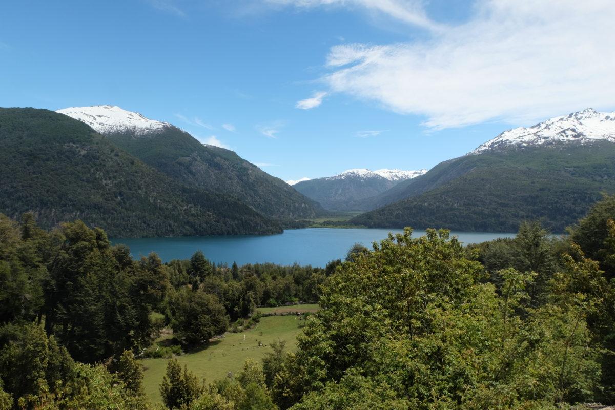
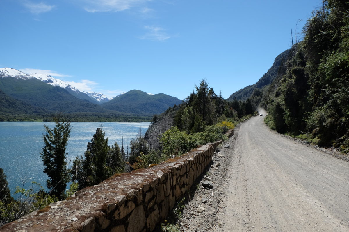
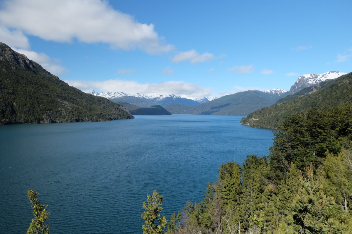
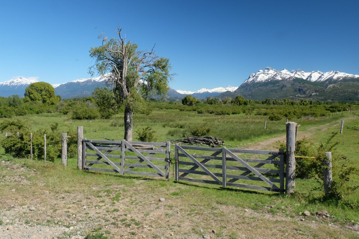
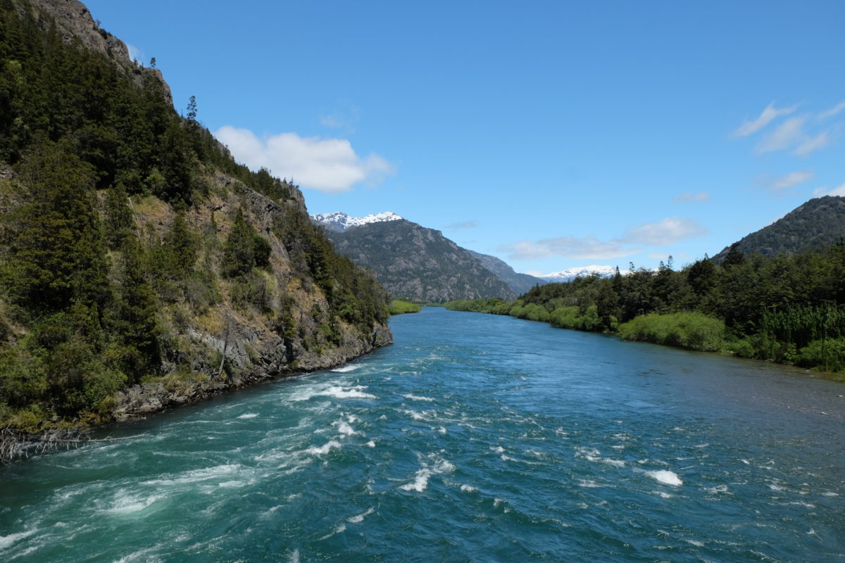
The first few kilometers were still on the pavement, but I soon left that behind. I went slowly, but there was much to look at. I was in a wide valley again, surrounded by mountains. Much of the ride was in forests and I passed several lakes and rivers. The climbs were especially hard here, but I guess they’re good training for the next section. At some point I entered Parque Nacional Los Alerces, but there was no one at the entrance gate to collect the fee. Maybe I got lucky, maybe it’s still low season with free admittance.
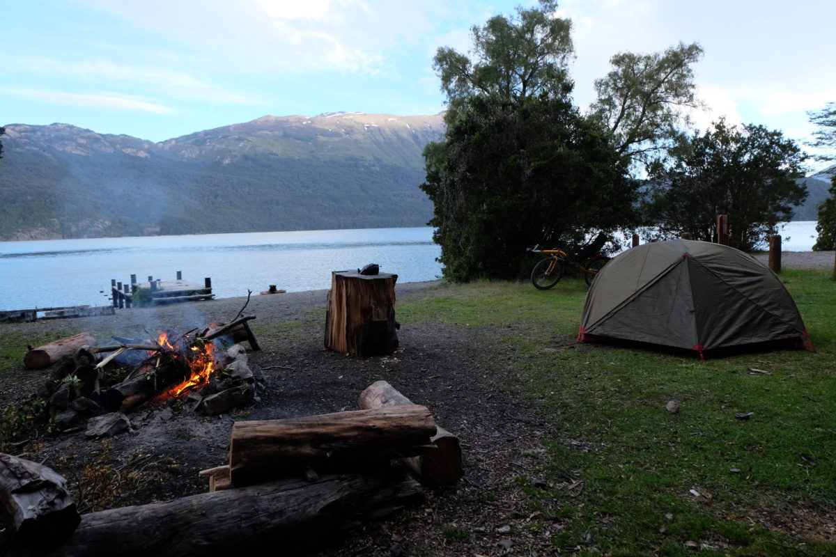
At 56 km, just past halfway from Cholila to Trevelin, I stopped at a designated free campsite. The only facilities are fire pits at every site and a rubbish bin at the entrance, but it’s a good location, which is otherwise hard to find. I arrived just before 16:00 and many people were here, sunbathing, fishing or playing with their boats and kayaks. It looked like most of them were not here to stay for the night.
The boat people were occupying the best spot, but they were also packing their gear, so I just waited for them to leave and then took that spot. This gave me the best place ever to cook, sitting on the jetty at the lake’s edge.
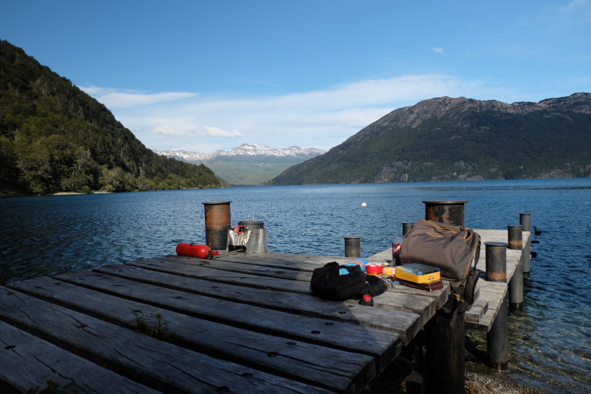
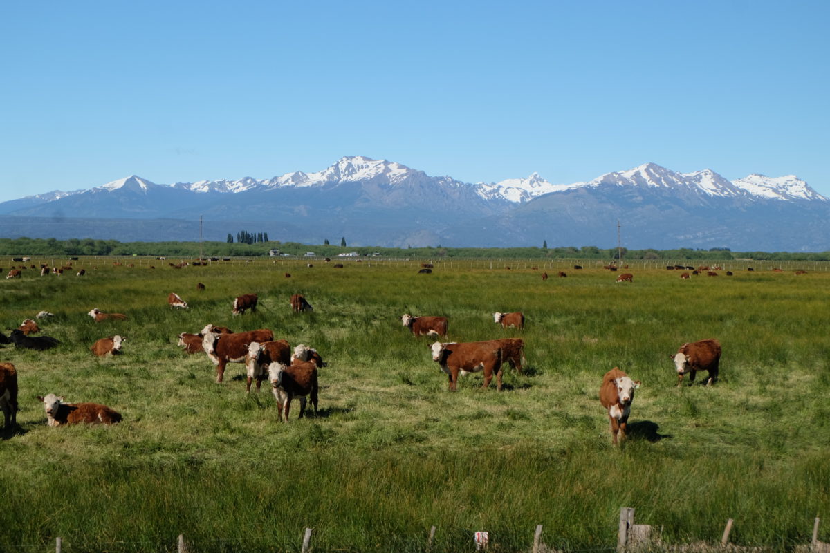
Later in the evening no one else was in sight, but I saw the glow of some other people’s fire around the corner. With so much wood lying around I couldn’t resist making a small fire myself. When I retired to my tent a couple of cows came by to graze. They stayed all night, knocking over my bike at some point, but they left in the early morning. I presume they know more people are coming in again soon.
Tuesday 21 November
[activity id=1284801349]
I started relatively late after “sleeping in” and having breakfast out on the jetty again. Initially I was still on the gravel. After some 5 kilometers a stream crossed the road. Most of these cross under bridges or through pipes, but this one was on the road with a bed of larger pebbles. I soon got stuck and had to put my feet down, instantly soaking them and my shoes in ankle-deep ice cold water. I didn’t care much, as the sun was out again, so they dried quickly.

After 18 km I left the national park and got back on the pavement. Soon I met two girls from Buenos Aires whose tracks I had already noticed on the dirt. One of them was very happy to meet me, since she had always wanted to see a recumbent bike. They are heading to Ushuaia too, but at a much slower pace. They want to continue touring as long as possible after that, but right now they were looking for a place to work for a while, so they can finance the next part of their trip.
The rest of the ride was easy, even mostly flat or downhill to Trevelin. It took me a long time to find a place to stay. Many of them were closed during siesta, a situation I hadn’t encountered before. I ended up in an expensive cabaña for four people.
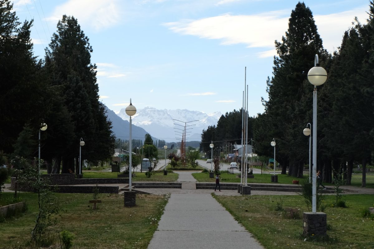
Trevelin is a town settled by Welsh immigrants, like more towns in this region. Many shops have signs in Welsh as well as Spanish and of course there are a few traditional tea houses. I had the full service at one of these by way of lunch, and it included a large amount of very good cake to feast on.
Wednesday 22 November
[activity id=1286289281]
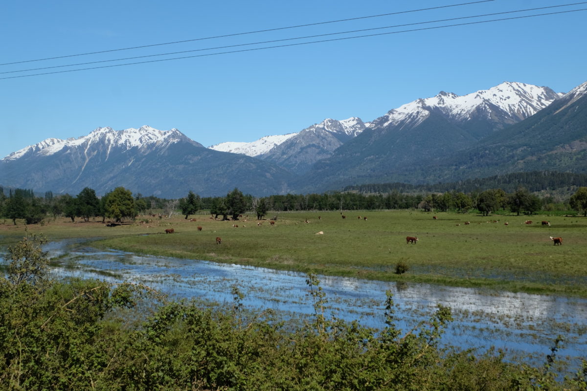
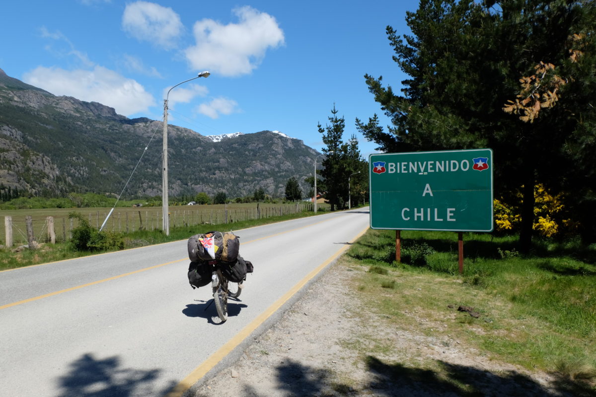
Today I’m crossing the Andes by bike. That sounds good, doesn’t it? But this must be the easiest border crossing of all that connect Chile and Argentina. There is no pass to speak of. That’s not why I chose this crossing, it’s mainly so I could maximally enjoy the lake district and visit Futaleufú too. But the flat terrain is a nice side effect. There will be plenty of climbing soon.
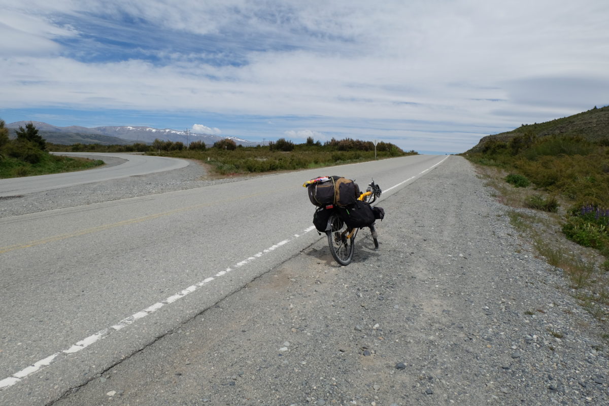
Argentina wants to make sure nobody who takes a wrong turn accidentally crosses the border with Chile, so to warn people about their mistake they build especially bad roads to most border crossings. At least that’s my theory hypothesis. Thus, the first 40 km of the day were on ripio which was sometimes really bad. My bike has the same mentality about leaving Argentina as the road builders, because just 5 km before the border I had a flat tire, the first since that day back in Jujuy. Update: I later found the puncture on the inside of the tube, where it contacts the rim tape. I wonder how that happened.
After replacing the punctured tube I was back on my way and quickly reached the Argentinian border control. My passport got stamped and then I had to join the line for customs, which went slowly because everyone had to register their vehicles. When my turn came I said that I’m on bike and the officer sent me on my way, no questions asked. There was quite an interesting collection of vehicles parked outside. A yellow recumbent bike belonging to some crazy guy, two motorbikes, a little camper van rented by a Dutch couple that was behind me in line and a big camper on the back of a 4×4 truck. When I walked out to continue my trip the police officer keeping watch outside was very interested in my bike and route. I got the impression he is a cyclist himself and maybe a bit jealous.
Then came the actual border, where Chile had to show off and thus built a good paved road right to the border. At the control stop my passport got stamped again and at customs I had to declare the bike. Just writing down make, model and colour sufficed. Then there’s the tricky part. Chile is very strict about bringing fruit, vegetables and meat products into the country, so you have to fill out a form declaring whether you have any of these. I asked about my tomato puree and mustard, which were both allowed. I forgot to ask about the peanut butter, which may or may not have been illegal. Then the officer came outside with me to check my bags, but he only looked at the compartment of my backpack that holds my clothes before he sent me on my way, so who knows if I had illegal food with me.
The landscape on this side is pretty much the same for now, except for the colours of the flags and road markings. I soon reached a tight downhill corner where a large semi-trailer truck and a motorbike had had an accident. The drivers were gone by now, the motorbike driver to the hospital as I understood it, but the road was mostly blocked and the police was directing traffic. You would assume that makes other drivers think again, but just a few hundred meters further I was overtaken. He went relatively slowly and kept his distance from me, but he couldn’t see if there was oncoming traffic. Some people never learn I guess.
It was a short ride to Futaleufú, where I’ll have a rest day. I first stopped at the bank for Chilean Pesos, but my DKB Visa card, which worked every time in Argentina, was refused. Luckily the other card, an N26 MasterCard, was accepted. Then I continued to a hostel and got a room there. Again the card was refused, but it worked at another place I tried to use it. The hostel clerk said this had happened before with DKB cards. Strange, but maybe I should just use the other one out here. Update: Other companies and people here also report problems with German cards, so I guess I’m lucky at least one of them works.
Distance covered: 361.8 km. Total so far: 3480 km.
Comments
5 responses to “Patagonia Is Hard: S.C. de Bariloche – Futaleufú”
Alweer ein sjoean verhaol, en ederein dae huëert en zuut waasse duus vindj ut geweldig en sjiek, desse det durfs, in dien uppie.
Mer dich besjriefs wie se auch allein ein sjoean reis kins make.
stiekum ein bietje jalours op dich.
Geweldig Stef, doe wäörs waal steeds ruiger…`ne pot Pindakieës smokkele, wieväöl jaor staon daoväör in Chily . Kiek mer oet, asse dich vastzètte bèsse te laat truuk väör de Bóntje Aovendje.
En die Argentijnse höbse neet èns laote proof ligge op diene fiets ?
waem wètj woea det op oet kós dreije ???
Väöl sjoean en veilige kilomaeters gewinstj en toet de volgendje
skype/blog.
Det kóstj 200.000 Pesos as se ‘m neet aangegaeve höbs en dae pot pindakieës bès se kwiet, mer dao zoot toch al neet ‘t meiste mieër in.
Waat indrukwekkendje verhaole Stef. Waat ein biezunjer avontuur belaefs en waat sjriefs ze det sjoeën op. Et is aanstaekelik, mer höb de laeftiëd neet mieër om dich det nao te doon.
Geweldig dets doe dit noe waal duis. Allein nog waal!
Geneet en kòm good trök. (Vins-se Haonssum nog altiëd et sjoeënste stökske vanne waereldj? De vraog stèlle is em – dink ich – auch beantwaorde),
D’r zeen zat miense die nao häör pensioen nog flink gaon fietse, ouch hiej, dus waat neet is kan nog altied komme. En d’r zeen väöl sjoean plaatse, mer ich koom toch altied gaer truuk nao Haonssum jao. Mer väör noe moog det nog efkes dore.