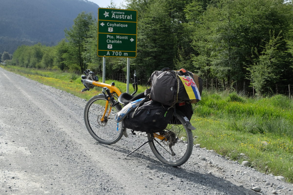
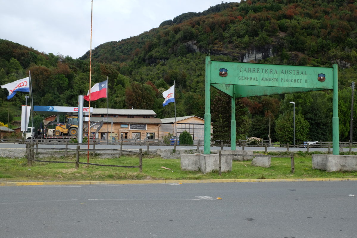
I’m currently heading from one legendary road to the next. Just a few days ago I left Ruta 40 in Argentina behind, only to soon join the Chilean Carretera Austral, the southern highway that Pinochet started building in the 1970s with the goal of connecting remote settlements in the south to the rest of Chile by road. Previously they were only accessible by infrequent and slow boats, by air or through Argentina. The reasoning was that the road would make the region feel more united with the rest of the country and also makes military troop movements easier if Argentina decided to attack.
This road is a must-do for every bike tourist in southern South America, so that’s where I’m going. 45 years later the road is still under construction, so some sections are quite bad, and there are a few ferries where no reasonable road could be built. In summer the road is said to be full of bike tourists (maybe a bit too full), but it’s not summer yet.
Thursday 23 November
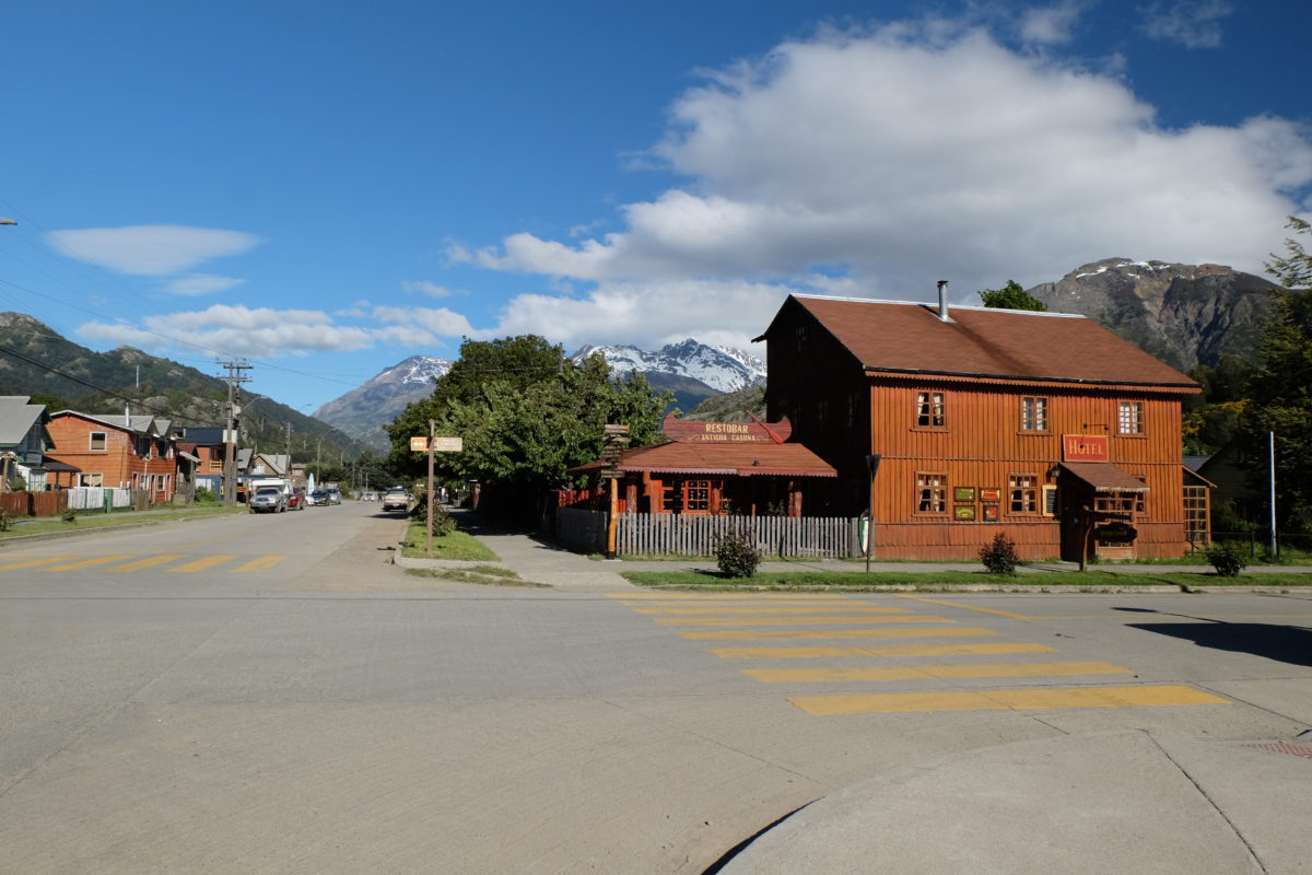
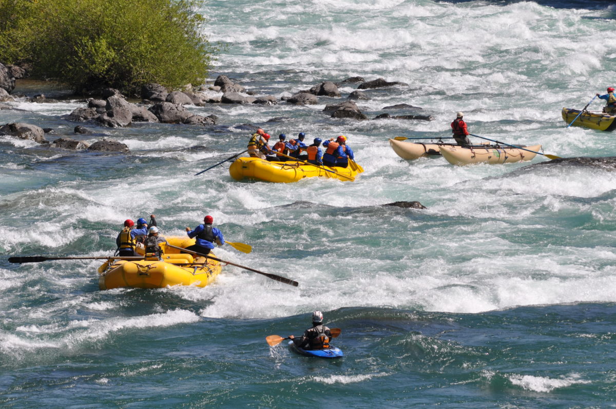
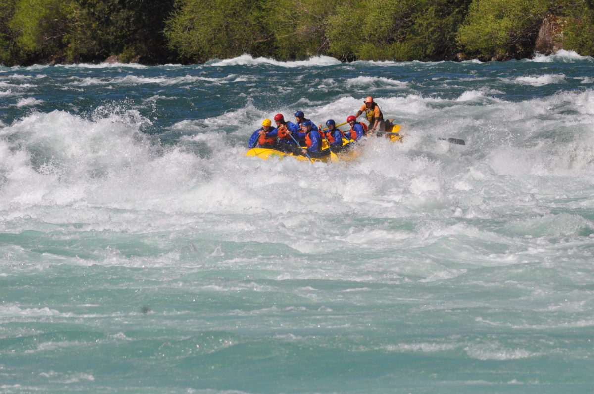
But before I go there I first have a rest day in Futaleufú. This scenic little village surrounded by mountains is best known because of the nearby Rio Futaleufú, which should offer some of the best whitewater rafting on the planet. Of course I couldn’t miss this chance to do something new and exciting.
The rafting was fantastic. We had quite an armada today. First we had our boat with the guide/captain and six customers, as well as a second raft with other guides of the company who were training to learn the correct lines through all the rapids. Then there were two people on catarafts for safety and one person training in a kayak. We started with some explanations of the commands the captain would give and how we should to respond to these. He also explained what to do if you fall overboard or the raft flips. Then it was time to go through a series of 12 rapids of varying intensity. It was sometimes hard work, but also very rewarding. In the rapids there’s not much time to look around with all the paddling and wave action, but it was great seeing the second boat following us when we were through one. The water level is very high in spring, which means we can’t always take the most challenging lines, but it was good. At the end there was tea and some snacks and then we returned to Futaleufú.
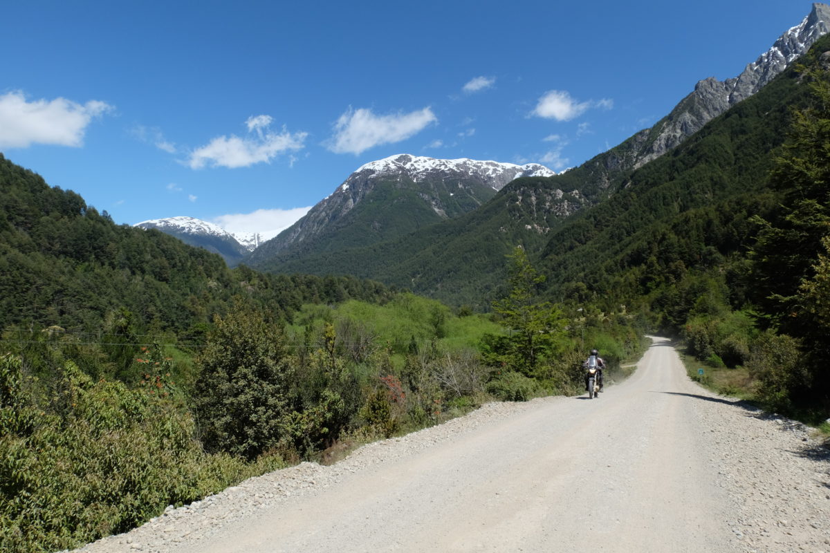
On the bus I saw some of tomorrow’s route, which does not look easy. I didn’t know that a large part is unpaved. Apparently Chile’s showing off is only needed between the border and the first village. There are also some (short) very steep sections. In addition the Germans in our group had been on the Carretera Austral and warned me about some very tough riding, but that just confirms what I was already expecting. The guy from Cologne remarked about the toughest and steepest pass: “Wer sein Fahrrad liebt, der schiebt.” And I fully expect there to be pushing indeed.
Friday 24 November
[activity id=1288970998]
The road to Villa Santa Lucía is indeed unpaved, but I’ve seen much worse. On many sections I could ride almost like on a paved road. Some uphill sections were tough and on one of the first I was already pushing. The rest went much better though.
At a junction a bit past halfway I stopped at a hospedaje/restaurant to eat. They suggested meat and salad, to which I agreed. Then they went out to fetch wood for their stove. Some things really work differently here. The food was good and something completely different from the usual fare, and at a good price too.
The road continued as before with small climbs most of the way and mostly good surface, but also some bad parts. The “best” part was left to the end: A hill that was not all that high, but so steep that I pushed most of the way up. Strava says it’s 8% on average, which is too much for me with a loaded bike on a bad road. After that I soon reached Villa Santa Lucía, meaning I’m on the doorstep of the Carretera Austral. I’ll leave that for tomorrow and stay here tonight. Today was a heavy ride, but it could have been much harder. I was more or less heading west all day, so I was dreading a big headwind, but I had little wind all day.
Saturday 25 November
[activity id=1290242052]
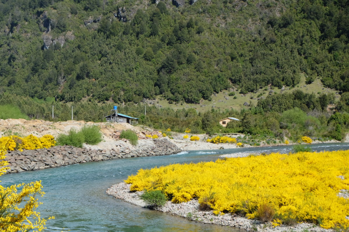
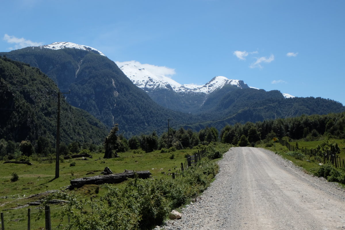
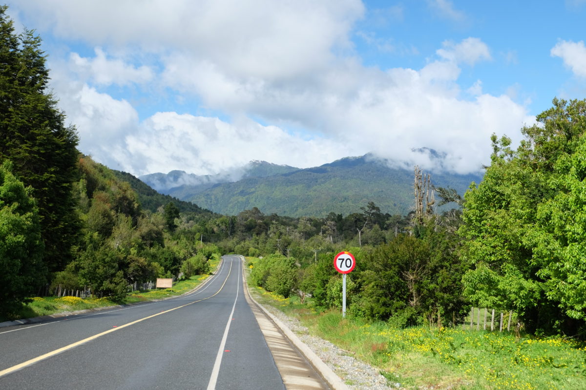
Saturday is my first day heading south on the highway. It has good pavement here and there was little traffic. I was following a river valley all day and initially it’s mostly downhill, with only small climbs to master. The views are nice, but not something I haven’t seen before. That will come a bit farther south.
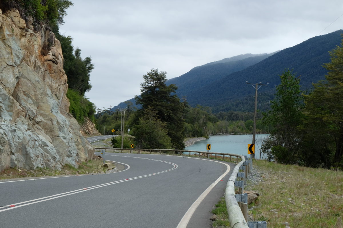
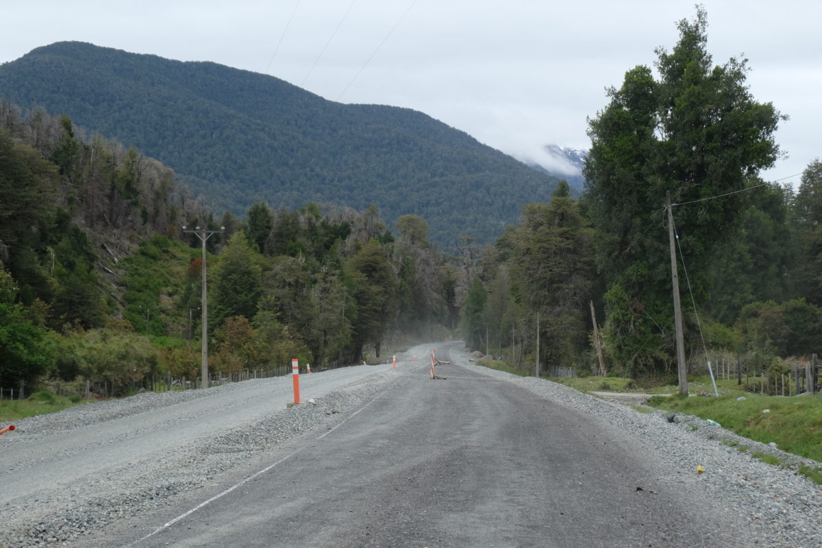
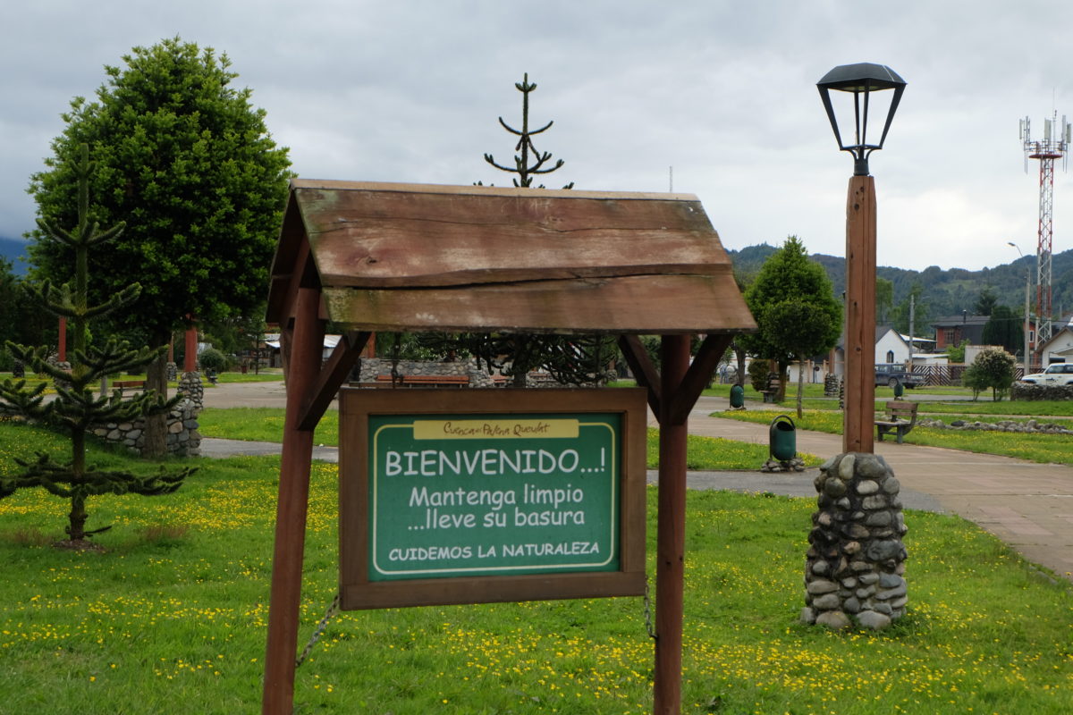
Halfway through a big section of roadworks started. The right lane was being paved, so traffic had to take turns using the unpaved left lane for many kilometers. Once I was past the new and still warm asphalt the workers told me to ride in the right lane. This already had some pavement, but not all layers were there yet. For me this was great, as I had my own paved lane without any other traffic for a while. Sadly this too ended and I had to use the ripio, which was sometimes quite bad. At the start 22 kilometers of construction were announced and indeed 22 km later the pavement resumed. From here it was a pretty easy ride into La Junta.
Sunday 26 November
[activity id=1291817671]
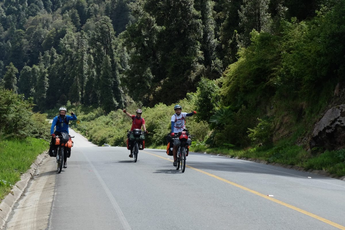
On Sunday morning it was raining, so I took my time leaving the hostel. I had plenty of time anyway, since I would only do the short ride to Puyuhuapi today. When I left at 10:30 the rain was gone and the sun was just appearing. I started off good with a smooth and more or less flat road. Soon I saw a tent by the side of the road. Two cyclists had gotten tired the day before and just stopped where they were. There had been hardly any traffic, so no problem. They were also starting late due to the rain. At about this time I was also overtaken by a few buses belonging to the South American Epic, an organised bike tour riding from Colombia to Ushuaia at a much higher pace than I am, but they have various types of support to allow this. None of the riders caught up with me today, but they should all be passing tomorrow. Soon after that I met with three other cyclists. They are riding the Carretera Austral and we teamed up.
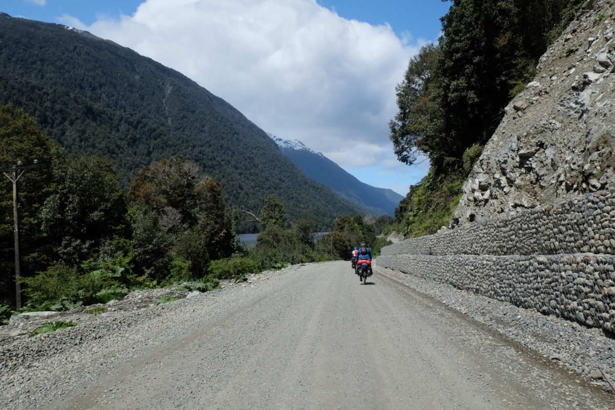
A little past halfway we saw a sign announcing the end of the pavement. An audible groan was heard from the others in front of me. The road continued as before with small ups and downs, but now on loose ripio. In one curve I slipped on the gravel covering the road and fell, the first time I really fell while moving. The others went faster than me on the downhills here, but I would usually catch up with them soon after. On the pavement the roles were of course reversed. The ripio continued until the final descent into Puyuhuapi.
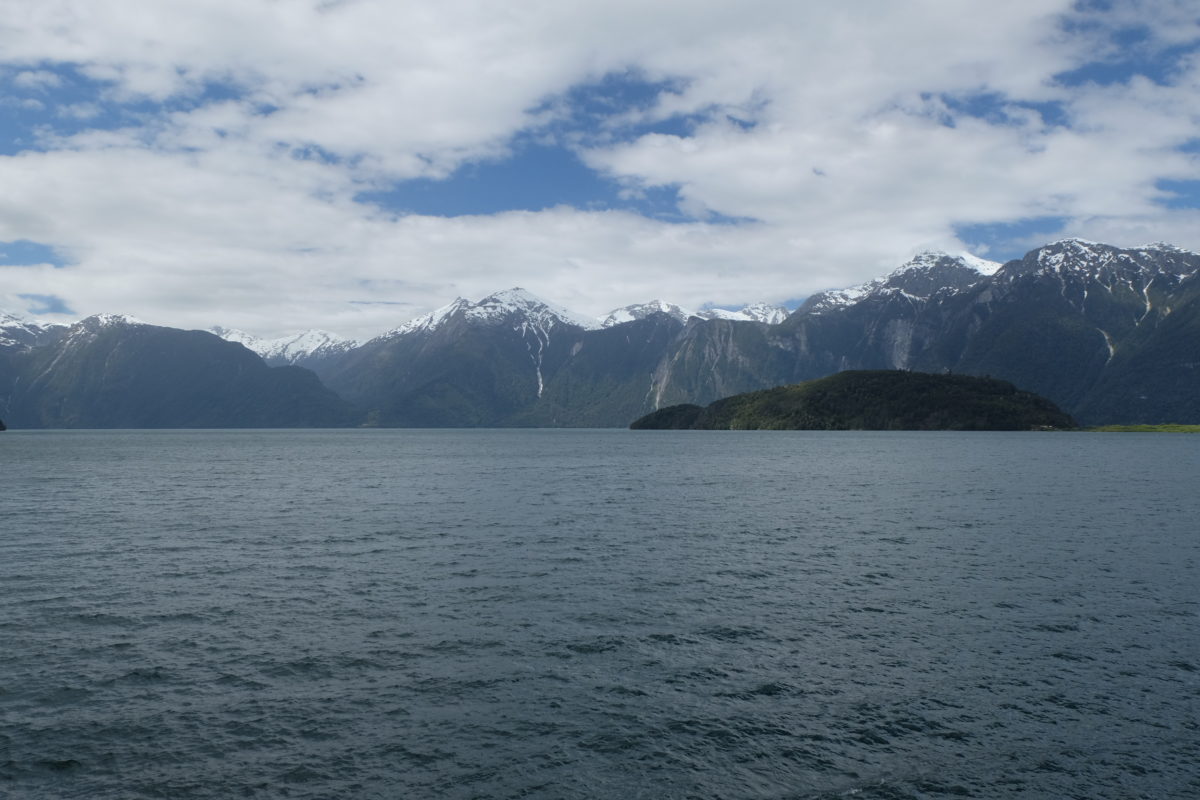
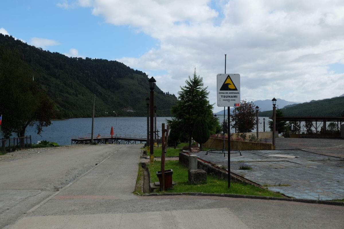
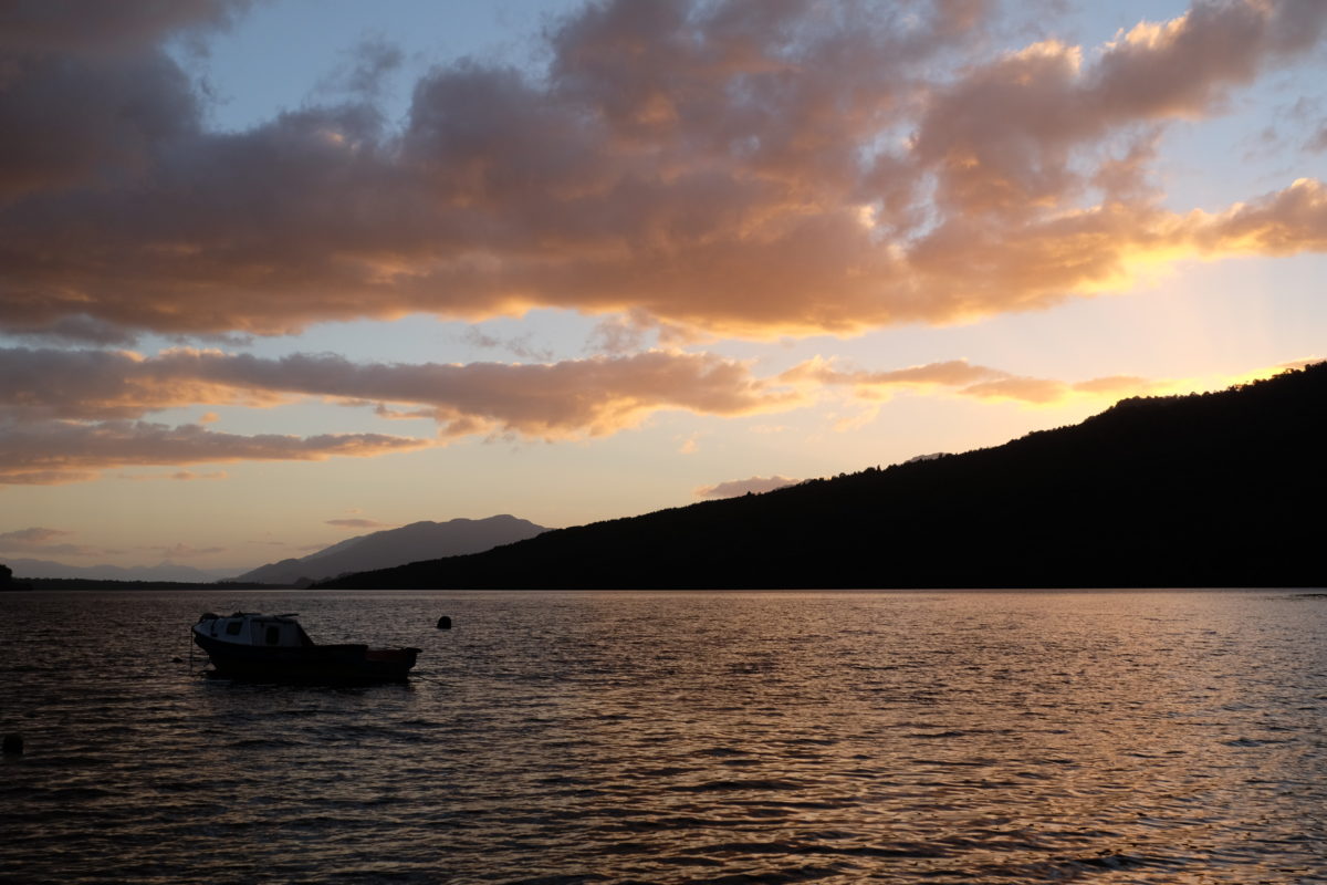
Puyuhuapi is sitting at the end of a fjord that is connected to the Pacific Ocean. This marks the first time I’m down to sea level on this trip. You can tell by how the salt water in the bay is right at the edge of town, and you could smell the salt in the air to ensure it’s sea water.
The others went camping, but I’ve been having trouble with my Achilles tendon for a few days, so I’m taking it easy and staying in a hostel. My schedule already has a rest day here, but I thought I might use tomorrow instead for a very short ride past a ferry and a bunch of road construction into a nice national park, where I would stop at the bottom of a difficult pass. I’ll have to see how things go tomorrow.
Distance covered: 190.8 km. Total so far: 3671 km.
Comments
One response to “Pinochet’s Prestige Project: Futaleufú – Puyuhuapi”
Ha Stef, weer ein sjoean verslaag van dien daag. Haopelik geit det mankementje aan dien achillespees gauw genóg äöver. Zeen of hueëre waal wiej ‘t aaflöptj.
Toet weer.